
About
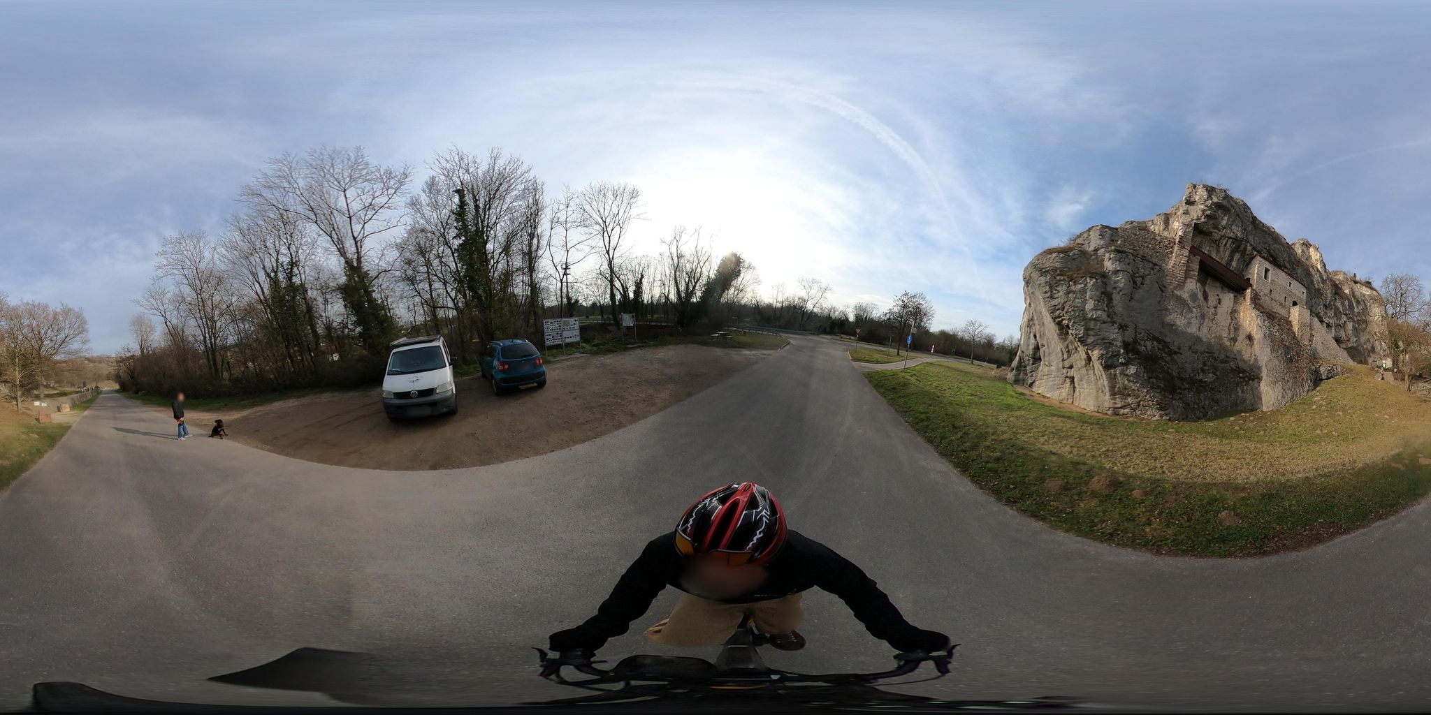
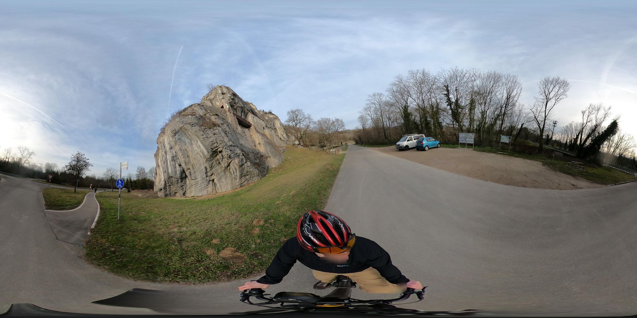
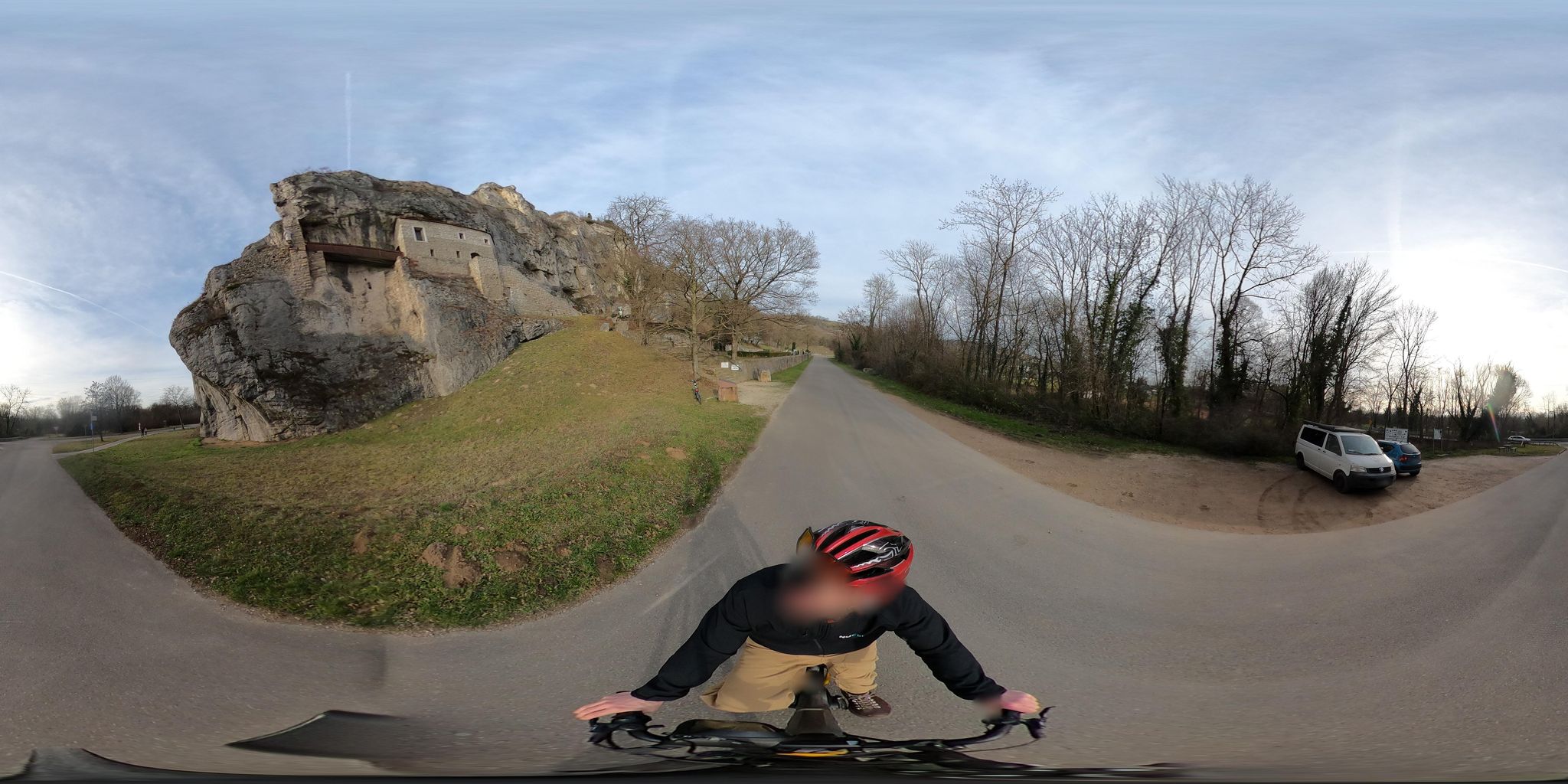
The Isteiner Klotz is a striking mountain ridge in the Lörrach district in the extreme southwest of Germany. Its highest elevation is reached on the Schafberg, at 357 m above sea level. The Isteiner Klotz is a foothill and the southwestern spur of the Upper Jurassic limestones. The mountain range of the Isteiner Klotz extends between the villages of Istein and Kleinkems, rising about 150 metres above the Rhine floodplain, and is part of the Markgräfler Hügelland. The villages of Blansingen, Huttingen, Welmlingen and Wintersweiler also lie towards the Isteiner Klotz; its northern end is near Rheinweiler, its southern near Efringen. The mountain range thus covers an area of a good 15 square kilometres. Since 2006 the Isteiner Klotz has counted among the 77 National Geotopes. Through the straightening of the Rhine, the building of the Rheintalbahn, fortress construction and several war-related blastings, the Isteiner Klotz was greatly altered from 1850 and has shrunk to a tenth of its original size. -- source Wikipedia 11/2024
Translated from German
Original
Der Isteiner Klotz ist ein markanter Bergrücken im Landkreis Lörrach im äußersten Südwesten Deutschlands. Seine höchste Erhebung erreicht er auf dem Schafberg, auf 357 m ü. NHN Höhe. Der Isteiner Klotz ist ein Vorgebirge und der südwestliche Ausläufer der Kalksteine des Oberjuras. Der Gebirgszug des Isteiner Klotzes erstreckt sich zwischen den Dörfern Istein und Kleinkems, der sich etwa 150 Meter über die Rheinauen erhebt und Teil des Markgräfler Hügellandes ist. Weiterhin befinden sich die Ortschaften Blansingen, Huttingen, Welmlingen und Wintersweiler zum Isteiner Klotz, das nördliche Ende findet sich bei Rheinweiler, das südliche bei Efringen. Damit umfasst der Gebirgszug etwa eine Fläche von gut 15 Quadratkilometer. Der Isteiner Klotz zählt seit 2006 zu den 77 Nationalen Geotopen. Durch die Rheinbegradigung, den Bau der Rheintalbahn, den Festungsbau und mehreren kriegsbedingte Sprengungen wurde der Isteiner Klotz ab 1850 stark verändert und ist auf ein Zehntel seiner ursprünglichen Größe geschrumpft. -- source Wikipedia 11/2024
Photos
Features
- fort
- outdoor
- paved surface (from photo)
- castle or ruin
- rock formation
- people
- dog
- van
- car
- parking
- road